
By Naghmana Sherazi
When we embarked on the ‘Beat the Heat’ initiative along with partners KXLY Meteorology Dept, City of Spokane Sustainability Dept, Gonzaga Climate Center, 350Spokane, and NOAA earlier in June this year, we knew we were going to get some real input associated with the work that we do on SpoCanopy.
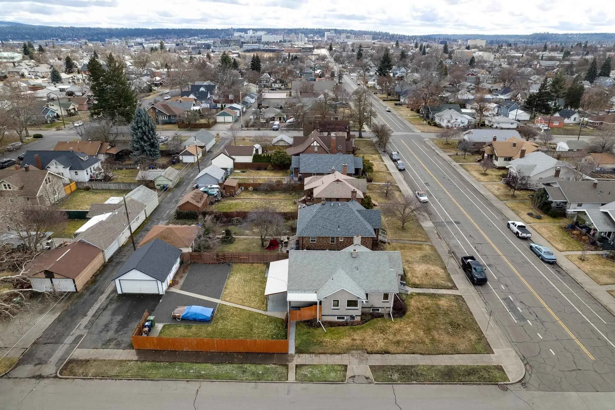
The Lands Council, in conjunction with the City of Spokane’s Urban Forestry Division, plants thousands of trees all over the city to increase urban canopy coverage so that the city streets are cooler. In the last few years, and for the next few years to come, our focus is on the Northeast Spokane. The average urban canopy coverage for Spokane is around 23%, while it is less than 18% in the Northeast. Our goal is to bring up the average to 40% by the year 2030, for the entire city. As is very evident from the citizen-based science we participated in and the thousands of temperature readings from all over the city, there are certain areas that are much warmer. This information will play a part as we plan future SpoCanopy plantings. It is our hope to involve people who live in the neighborhoods and invite people from Spokane’s 29 neighborhoods to participate in our twice-yearly planting drives.
Currently, we have three days scheduled in October (11th, 12th, and 13th) when we will be planting around 300 trees. If you have time, please sign up to help us plant – you can sign up here.
Here is a link to the article published by KXLY about the results of our experiment: https://www.kxly.com/new-map-shows-some-parts-of-spokane-are-much-hotter-than-others/
Gonzaga University’s Climate Center also published findings on their website:
We are looking for some qualitative data associated with the experiment; to learn more about Spokane Beat the Heat and take the heat survey, visit www.gonzaga.edu/BeatTheHeat
To view the summary report of the heat island mapping campaign, visit www.gonzaga.edu/HeatMaps